
I walked the length of Manhattan today. Much to my legs’ chagrin, the journey was 15+ miles from the southern tip of Manhattan (Battery Park) to the northern tip (Broadway Bridge over the Harlem River). I recorded my route here: http://www.gmap-pedometer.com/?r=5688027. For a good chunk of the trip, I walked along Broadway — originally the Wickquasgeck Trail of Manhattan’s original inhabitants, this thoroughfare has a history that predates the Dutch settlers who arrived in the 17th century. From 120th through 155th St, I veered east off Broadway to walk through Harlem.
I started the walk at 7:12am this morning at Battery Park — ordinarily filled with tourists, the park was quiet at this time, just a sailboat and the Statue of Liberty across the water.
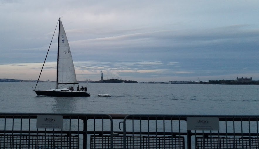
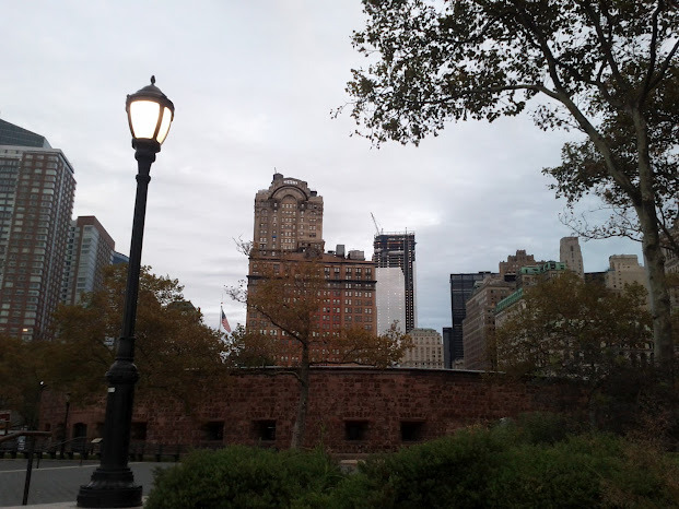
Turning north, I started my walk. Castle Clinton straight ahead, and 4 WTC under construction a bit to the north.
7:20am, Trinity Church: A small contingent of Occupy protestors sleeping out front. This area is usually filled with people, but at this time of day, the streets are very empty and quiet. It’s surreal.

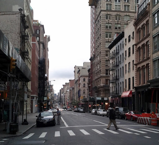
7:33am, looking north from Leonard and Broadway:
8:06am, facing north at 23rd street:
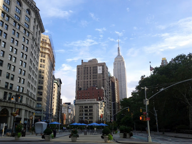
Looking south at the Flatiron building (around 26th) in the morning light:

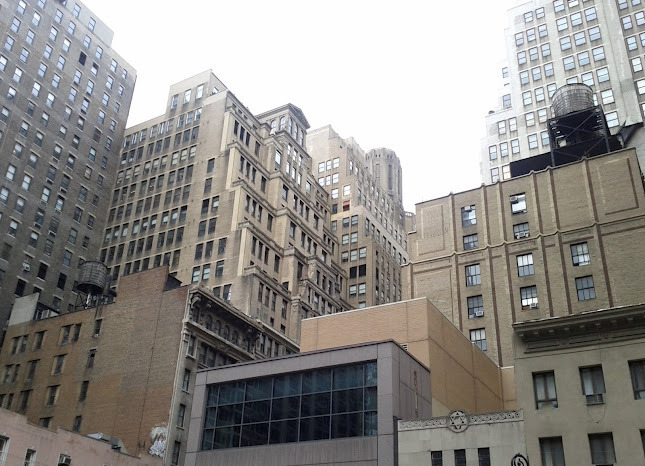
8.33am, walking up 6th Ave for a bit — crossing 38th st here. I’ve become fond of this particular patch of “built environment” — the texture, the angles, the watertower, the bricks — just a few blocks south of the glassy new towers in midtown, you get a glimpse of something older:
8.40am — 42nd St, you can’t miss the new Bank of America tower, LEED Platinum, constuction finished in 2009. This photo doesn’t do it justice; it’s really an incredible building:

8.57am — I didn’t see many people out and about on a Sunday morning in Manhattan. Those I did see were exercising — this is just south of Central Park on Broadway.

9.02am — a lone trumpeter in Central Park.

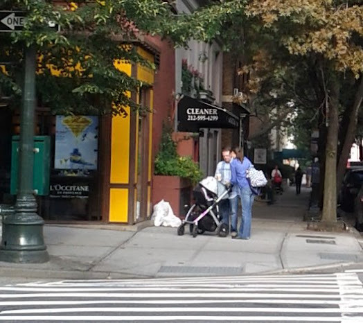
9:10am — as I walked up through the Upper West Side, I started to spot a lot of couples with strollers — an uncommon sight further south in Manhattan.
9:17am — at 74th and Broadway, I encountered a building I couldn’t stop staring at — it looked magnificent in the morning light. It is the Ansonia — a building with a very interesting history. At the turn of the 20th century, it had a “farm on the roof,” which
…included about 500 chickens, many ducks, about six goats and a small bear.”[emphasis mine.] Every day, a bellhop delivered free fresh eggs to all the tenants, and any surplus was sold cheaply to the public in the basement arcade. Not much about this feature charmed the city fathers, however, and in 1907, the Department of Health shut down the farm in the sky. (wikipedia)

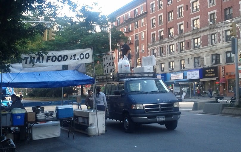
9:42 — I crossed 100th street, that psychologically important triple-digit milestone. Here, at 100th and Broadway, I found people starting to set up for a street fair.
10:00am — up at 116th on the west side of Manhattan, you start getting some great views to the east. This is at Morningside Park:
10:01am — Looking north, Morningside Park, the stone wall gives you a sense of the elevation of the park (left). Originally, much of Manhattan looked like this — “Manhattan” derives from Mannahatta, “land of many hills.” To the northeast (upper right corner) is Harlem.

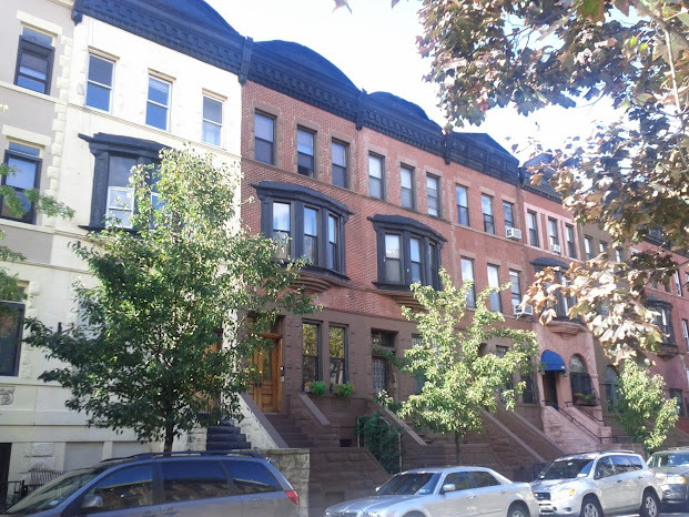
10:31am — 136th st, Harlem. The residential architecture here reminds me of DC.
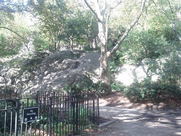
10:51am — walking west along 150th in Harlem, I cut through Jackie Robinson Park. There are big hunks of rock here that you can hike up through to the west side of the park.
11:07am — I walked west along 155th, passing the Trinity Church cemetery. The church indicates via banner that the cemetery is “active” — I’m not entirely sure I want to know what that means.

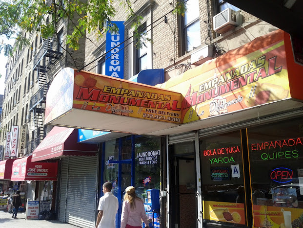
Up past 160th my phone started running out of batteries, so I didn’t get many more photos and notes. I did notice that from 160th northward, I heard more and more people speaking Spanish, and I saw a few of these empanadas shops:
11:45ish am — 170th – 180th, a vibrant stretch of Broadway, Spanish is the primary language, music playing in shops and carts.
180th – 200th — Broadway is no longer pedestrian-friendly. It turns into a double-lane highway, and no longer really feels like Manhattan.
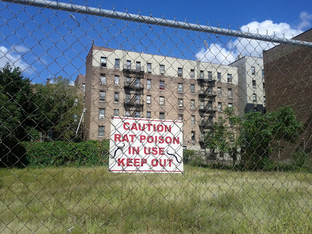
12pm — up in the Inwood neighborhood, around 204th st, I was surprised to encounter a grassy empty lot. On closer inspection I noticed this sign — uh-oh!
12:10pm — 215th St, I walk past this stairwell that reminds me of the stairs all over the Queen Anne neighborhood in Seattle. I might have walked up them but my legs were getting pretty sore at this point. Looks like they date back 100 years or so.

wineshop in Inwood-

Up north of 200th in Manhattan, subway trains run above-ground:
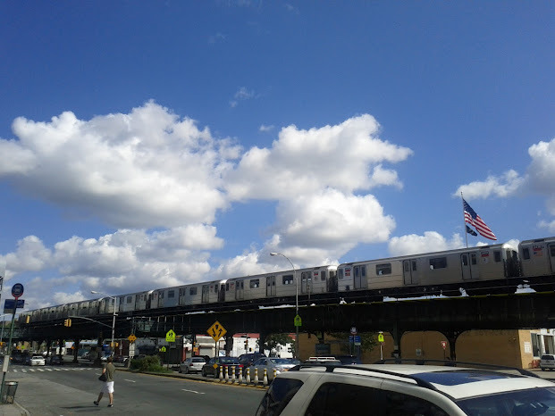
12:32pm: After 5 hrs and 20 minutes, I reach my destination: the northern tip of Manhattan, Broadway Bridge, just north of 220th st. The bridge goes over the Harlem River, and directly beyond that is The Bronx.

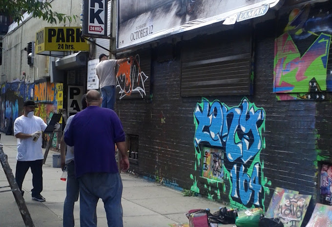
I walked (hobbled) south a few blocks to the 215th st subway station (where the train is elevated), and came across some graffiti artists at work:

Thanks!!
Pingback: There’s also other things | foiblish